

What does the “super” El Nino weather pattern gathering strength near the equator in the Pacific mean for landlocked Wyoming thousands of miles away?
For starters, less-than-average wind this winter. Additionally, between now and late spring, the southern half of the state can expect higher-than-average precipitation, while the northern part — especially the northwest corner — can expect less than average.
Despite El Nino’s global weather influence, however — and its roll-of-the-dice supercharged status — you can probably count on Wyoming to retain the core of its weather personality. The wind will still blow, and there will be events that buck the seasonal forecast, explained Cheyenne National Weather Service meteorologist Mike Natoli.
As for perhaps the top question on minds in Wyoming: Will it bring some relief after a winter of historically sparse snowpack?
“It’s hard to do worse,” Natoli said.
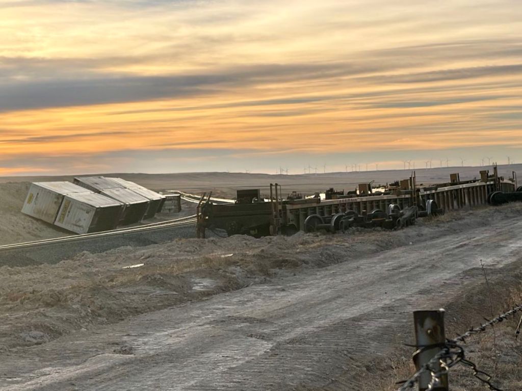
Wyoming has already encountered its share of unusual weather this year. Hurricane-level winds downed trees and knocked a train off its tracks. The notoriously chilly state experienced record winter high temperatures and brutally sparse snowpack — wounds to the state’s agricultural and outdoor recreational economy that were only exacerbated by this summer’s record-high temperatures.
Even northern portions of the state that are likely to experience below-average snowfall — a signature effect of El Nino’s influence here — might still do better than last winter, Natoli said.
Super El Nino
The El Nino phenomenon, which occurs about once every two to seven years, is shaping up to be the most intense in recent history, according to the National Oceanic and Atmospheric Administration. It’s borne and fueled by the cyclical convergence of warm ocean waters in the equatorial Pacific. It sends heat and moisture into the atmosphere and draws the global jet stream further south — about a nine-month-cycle that usually divides seasonal climate expectations in Wyoming on a latitude that might strike through Casper, or a bit further south.
Though NOAA avoids the term, climate watchers warn that human-caused climate warming is propelling this El Nino to “super” status, making it likely to “shift rainfall and temperature patterns worldwide and fuel extreme weather” far beyond a typical El Nino, the World Meteorological Organization says.
The oceanic center of the developing El Nino is unusually hot, already 5.4 degrees Fahrenheit above the average ocean temperature for the region, whereas a temperature anomaly of plus 3.6 degrees Fahrenheit would portend a “very strong” El Nino, according to data from the Columbia Climate School’s International Research Institute for Climate and Society.
And it’s still gathering power, fed by a huge reservoir of warmer-than-usual ocean waters far below the surface. “The strength of this El Nino may be surpassing any one we have observed in the past, which could cause some unexpected things,” Natoli said.
Even in Wyoming.
From Pacific waters to Wyoming skies
It’s tempting to say that the stronger the El Nino, the more that its typical-for-Wyoming outcomes — above average precipitation in the south, less-than-average elsewhere — are more certain and easier to predict in weekly forecasting, Natoli said. But, the intensity of this El Nino is a bit of a wildcard. “We may learn a thing or two this year from this event.”
But based on past El Nino events, the jet stream moves further south, and that means many of the storms it spins off will come up from Colorado. Those storms generally swirl up against the eastern slopes of mountain ranges, resulting in more snowfall on the eastern sides of mountains than the western slopes, Natoli said.
Still, “The northern part of the state generally tends to see below-average snowpack, which is partially due to the warmer temperatures and partially due to that southward shift of the jet stream and the storm track, sending more storms to the southern part of the state.”
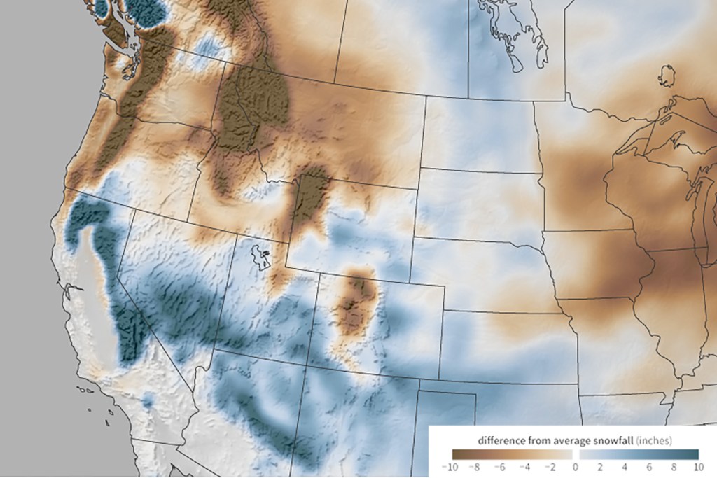
That could mean some level of relief for drought-stricken regions like the North Platte River Basin spanning from southern Carbon County and bending toward the Nebraska state line, as well as the Laramie River Basin in the far southeast.
“Those two basins had some of the worst conditions last year,” Natoli said. “So we’re a little optimistic that the basins that did the worst last year will probably do a little bit better this year.”
That’s the big-picture snow forecast for Wyoming’s core winter months — December through February — the second-most predictable El Nino influence in Wyoming. Meanwhile, the biggest snow events are most likely reserved for the “shoulder seasons” — fall and spring, according to Natoli.
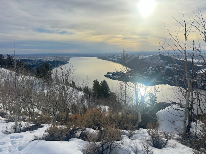
If you’re a skier chasing powder, Natoli added, you might find your kicks in the central and southern portions of the state — like Hogadon on Casper Mountain, Snowy Range west of Laramie or Pine Creek outside Cokeville. Beyond Wyoming borders, El Nino typically tempts skiers to sojourn to slopes in southern Colorado and California.
The most predictable El Nino effect in Wyoming — and his favorite, Natoli said — is less-than-average winter wind.
“El Nino winters are associated with lower average wind speeds and a reduced frequency of high-wind events, for pretty much the entire state of Wyoming,” Natoli said. “Of course, we live in Wyoming, so it’s going to be windy. But there is decent confidence that you may notice a little bit less wind — particularly compared to last year.”

A planetary divorce from fossil fuels is looking necessary for survival.
The only certainty is that if the wind doesn’t blow this winter we’re not in Wyoming.
I have seen articles all over the place about this El Nino. So we will see?
Feast or famine. Flooding or drought. Seems to be the new normal.