As the hot, dry days of summer settle in, many residents and visitors seek refuge in Wyoming’s rivers, lakes, creeks and even irrigation ditches.
Their accoutrement? Anything from inner tubes to paddleboards.
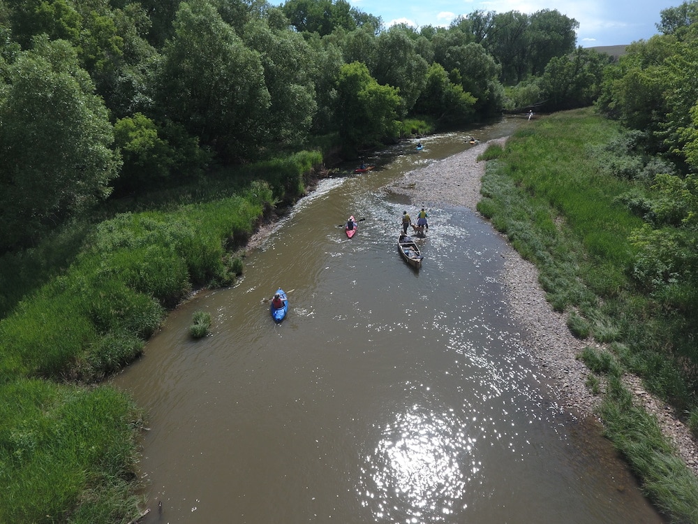
Or, as Sheridan photographer Kevin Knapp captured with his drone on a recent hot day on the Tongue River, an armada of kayaks and canoes.
The stretch of water he photographed, which flows north of Sheridan near the historic coal camp of Acme, is included in an effort to highlight public access and points of historic significance along the Tongue River and Goose Creek.
The Sheridan Community Land Trust has been working with regional partners in recent years to install signage, remove user hazards and ensure people know where they can access their public rivers and creeks. The endeavor covers 14 access points along the Tongue River and Goose Creek near or in Sheridan, SCLT Executive Director Brad Bauer said.
Most of the put ins are on public lands, Bauer said, but three require crossing private property. “These owners have generously given us the ability to allow access” to the river, he said.
The SCLT recognized an opportunity a few years ago to improve waterway access in its region, Bauer said.
“The Sheridan area is lucky to have multiple streams running through town,” he said, but “access isn’t always that easy to figure out. It was important to us to try to develop that opportunity.”
Support Wyoming photojournalism — donate to Wyofile today.
The access point Knapp used to shoot his photo was recently pruned to ease transport of water vessels, he said. It’s good timing; the river is just past the peak of spring runoff, and is flowing at that pleasing level that’s not too rushing, and not too low, he said.
“It’s a fleeting window around here,” Knapp said of Wyoming’s river season. “Honestly, it’s the ideal time.”