
From blistering heat to garden-zapping temperatures, Wyoming’s notoriously capricious weather swung wildly this week with the arrival of an early winter storm.
Wet snow and high winds that moved in Labor Day closed roads, caused power outages and downed trees across the state — just two days after temperatures registered in the high 90s in many areas.
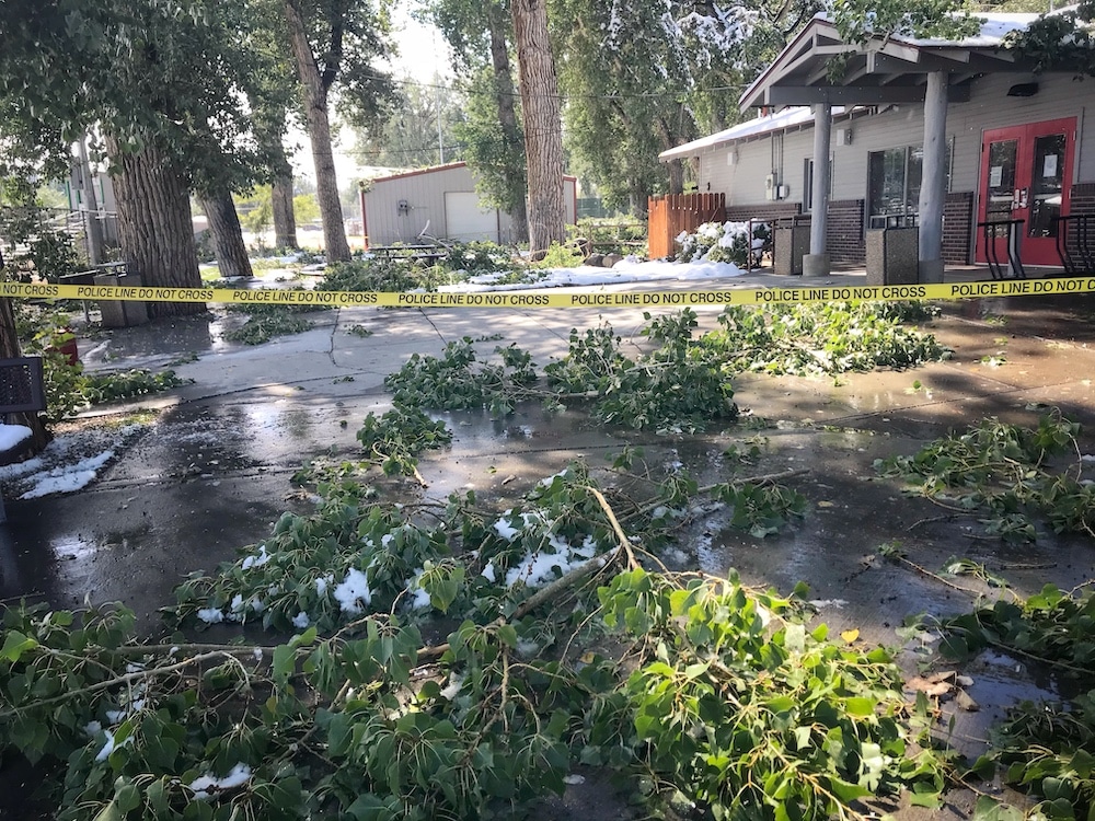
In Lander, where temperatures plummeted to record lows and 6 inches of snow fell, the storm damaged trees all over town. Deciduous species like cottonwoods — still holding their full complement of leaves — lost branches or split, and branches were strewn in yards and streets. Officials closed most of City Park, where falling branches threatened passersby.
Fierce winds also contributed to damage. The Rock Springs Airport clocked the strongest gust at 86 mph — Category 1 hurricane level. Winds hit 68 mph in Farson, 52 in Superior and 48 in Worland, according to the National Weather Service.
Power outages darkened buildings in many towns and emergency responders were busy responding to calls of property damage, downed trees and crashes. Residents, meanwhile, scrambled to locate long-stored winter coats, shovel sidewalks and clear snow from trees.
Support Wyoming photography — donate to WyoFile today
Casper Mountain reported 17 inches of snow, and officials temporarily closed several highways, including Interstate 80. In Jackson, only a dusting fell, but winds of up to 48 mph downed mature trees and cut power to much of Grand Teton National Park.
Though gardens around the state are undoubtedly suffering from the shock of winter’s premature visit, summer doesn’t officially end until Sept. 22.