
This winter has been one of the most significant avalanche seasons the Bridger Teton National Forest Avalanche Center has documented, said Bob Comey, director.
On Feb. 5 alone there were 32 avalanches in the area monitored by his office, 21 of which had crowns greater than 44 inches.
“And that’s just what we know of,” Comey said.
The snow began in September. Mountain snow storms aren’t unusual so early in the season, but the storm that arrived Sept. 14 persisted for 12 days, Comey said. More snow followed.
The first significant slides began shortly thereafter in November.
In late November, warming temperatures brought rain at 11,000-feet, creating a hard crust atop existing snow. That, followed by a dry cold period in December, created a weak layer that is still causing problems in some areas today, Comey said.
There were 39 reported avalanches on Jan. 12, eight with crowns bigger than 44 inches.
The season has not been as destructive as 1985-1986, when avalanches cleared mature forests and redefined the slide paths that exist today, Comey said.
In comparing seasons, Comey is less concerned with how many avalanches occur, than the size of the slides. The 21 massive slides on Feb. 5 stand out among years of avalanche data, he said.

The hazard rating Feb. 4 had been moderate, but the weather changed and most of the slides happened overnight, he said. If they had occurred during the day, the number of fatalities would likely be higher this year.
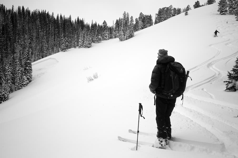
“We’ve had so many close calls this season,” he said. People have been skiing and riding during unstable conditions in the backcountry, but those involved in avalanches this season have mostly walked away. “It’s kind of defying the odds just how lucky people have been so far,” Comey said.
There have been two fatalities in the center’s forecast area.
Snowmobiler Troy Leishman died in the Snake River Range in Idaho Feb. 20. Skier Alexandra Marra died Feb. 17 in the Teton Range.
Comey believes the slide that killed Leishman was due to the weak layer that formed in December.
“It’s really a hallmark of the season and I can’t say we’re completely over it,” he said.
Snow depths at the Raymer plot — a site high in the Tetons that the forecast center uses to monitor accumulation — just exceeded 400 inches. But there hasn’t been much snow on the valley floor. The dry lowlands have led some to believe it’s been a terrible snow year, but there’s plenty of snow in the mountains and the reservoirs and river basins are doing well.

“We’re looking at a good water budget for this time,” he said.
High snowpack in the northern part of the state has helped bring Wyoming’s overall snowpack above average this year, but southern Wyoming hasn’t been so lucky, said Jim Fahey, a hydrologist with the National Oceanic and Atmospheric Administration’s Riverton office.
On March 7, the Shoshone River Basin’s snowpack was 171 percent of median, the highest in the state, followed by the Upper Yellowstone region at 166 percent of average.
Snowpack, or snow water equivalent, measures how much water is in the snow — a figure that’s much more useful than snow depth when it comes to planning for spring runoff, flooding and reservoir management, he said.
Wyoming’s overall snowpack this year sits in the middle compared to neighboring states.
“We are in better shape than Colorado and Montana’s is higher—they really had a winter in Montana,” Fahey said. “We’re doing OK.”
Despite above average snowpack in some areas, this year’s totals don’t compare to last year’s record-breaking winter. The only drainage with more water stored as snow is the Bighorn Basin, which measures at 129 percent of average so far this year compared to 113 percent last year.
Never miss a Peaks to Plains. Subscribe to our free weekly newsletter.
The areas with the lowest snowpacks are the Upper Bear area with 76 percent of average in the southwest portion of the state, and the Little Snake in the south central part of Wyoming at 79 percent. Last year on the same day, the Upper Bear measured 170 percent of median and the Little Snake was at 125 percent.
The state is also well above average for precipitation, which will help areas in southeastern Wyoming that were also dry last year.
“This year is even drier and something to pay attention to in terms of drought,” Fahey said. “But we are coming into the wet season for places east of the Continental Divide. A lot can still happen.”