
Wide brush strokes painted north and south. They were lines on a map of Wyoming already full of lines indicating rivers, mountain ridges, highways and interstates. But these brush strokes — wider than any of the others — illustrated where the Platte Valley mule deer herd migrates, threading east of the Sierra Madre and west of the Snowy ranges.
Many of the lines stopped abruptly at the border between Wyoming and Colorado. Except, of course, the deer themselves don’t stop there. They keep wandering on for 30 or sometimes 40 miles following better food as snow piles in late fall and melts in the spring.
But now, after years of coordinated effort between five Western states, the brush strokes no longer halt at our human-made boundaries. They stop only when the animals stop.
A team of researchers and wildlife managers from Arizona, Idaho, Utah, Nevada and Wyoming, coordinated by the U.S. Geological Survey, recently completed “Ungulate Migrations of the Western United States: Volume 1.” The collection aims to illustrate how tens of thousands of big game animals move across the landscape each year.
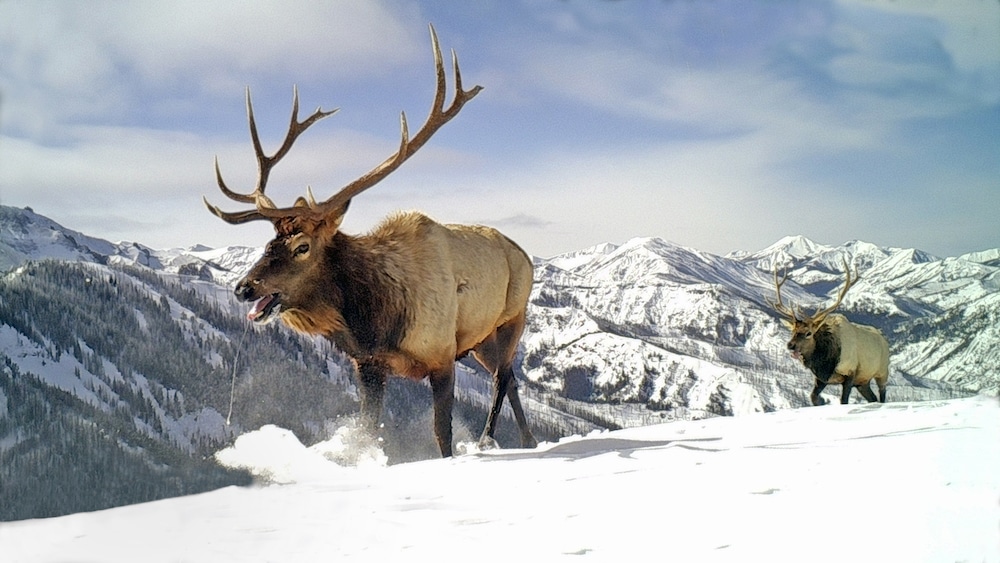
Some, like the famed Red Desert to Hoback migration, largely stay within one state’s borders. Others, like the Platte Valley herd or Utah and Arizona’s Paunsaugunt mule deer herd, cross state lines.
“You don’t want one state protecting the corridor on one side and another state building houses and roads and energy development on the other side of the corridor. The protections would be meaningless,” said Matt Kauffman, leader of the USGS Wyoming Cooperative Fish and Wildlife Research Unit at the University of Wyoming. “What’s important is it’s functional the entire way.”

The effort was critical not just for bordering states to understand where animals cross back and forth across our arbitrary state lines. The maps are building a publicly accessible resource from which states and the broader region can understand and conserve the last of the long distance migrations fueling the West’s iconic herds.
Attention to detail
States have tracked, in general, the movements of big game for decades. Wyoming’s efforts go back at least 70 years, said Doug Brimeyer, deputy chief of the Wyoming Game and Fish Department’s wildlife division.
“We were intensively monitoring those migrations because hunting seasons depended on it,” he said. “You wanted to set seasons to manage migratory populations.”
As much as tracking technology progressed between the ‘50s and early 2000s, it advanced even more in the last decade.
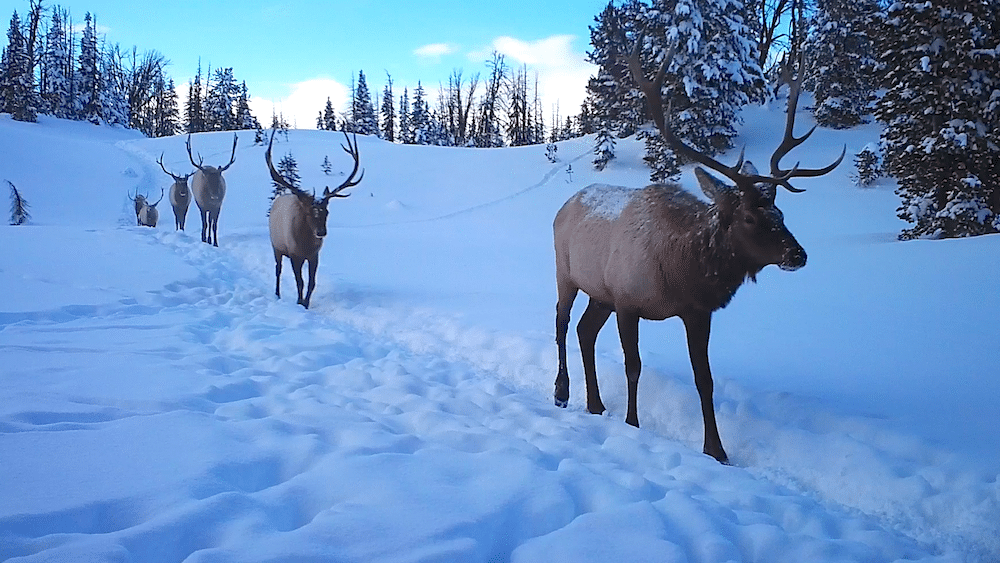
For years, state wildlife agencies and researchers have darted elk, pronghorn and deer from helicopters and affixed radio telemetry collars around their necks. When the collars fall off, the battery runs out or the animal dies, researchers collect the collar and upload hundreds of location points showing exactly where the animals moved.
But even then, all researchers had to work with were countless spaghetti lines moving across a map, Kauffman said.
“We recognized over a decade ago, especially working with Game and Fish, that you can’t manage off those squiggly lines,” he said. “How thick is the line? Is it a meter? A kilometer? Ten kilometers? If you want to protect or manage the corridor, you need the width of the footprint.”
Basically, researchers had to know how much area the animals needed to move through. They also needed to know if it was simply one or a few animals, or if it was an area critical to an entire herd.
So Kauffman and WEST, Inc.’s Hall Sawyer — who pioneered modern migration research in the West — came up with a method to take all those thin, squiggly lines and turn them into dimensionally accurate corridors.
After that, other states started calling. Many of them had their own tracking data but hadn’t been able to distill it down to useful patterns. Kauffman and others held workshops and trainings around the West until February 2018. That’s when former Interior Secretary Ryan Zinke created an executive order asking states to prioritize mapping and enhancing big game migration corridors.
The USGS used the executive order as a tool to help pool all the knowledge scientists had acquired and to work directly with states on their migration routes. The initial result of that effort, which began in 2019, is the recent volume of more than 40 mapped migrations.
“On one level, this is an evolution in wildlife management. Historically, pretty much all the states have focused on winter range … but migrations had not been mapped,” Kauffman said. “Until we had good tracking data, we didn’t have a way to treat the migration corridors the same way we could treat winter range.”
Now, he said, they do.
Planning in action
What comes next for the effort is easy for the USGS’s Kauffman to say. The team — specialists like Kauffman, Sawyer, UW assistant professor Jerod Merkle and UW research scientist Holly Copeland along with wildlife managers from each state — are working on another set of migration routes for the next volume. This one, set to publish in 2021, will describe more than 50 corridors.
What comes next in terms of the migration routes themselves is a little murkier.
Wyoming was the first state to officially designate wildlife migration corridors — a tool that can be used to help land managers and private land owners understand what impact, say, a housing subdivision or energy development could have on a herd of deer, pronghorn or elk.

The state has three official corridors — including the one used by the Platte Valley herd that travels into Colorado — as well as two routes that are being analyzed, Brimeyer said.
But using migration routes as a land management tool is controversial in a state where the bulk of its revenue comes from energy developments. In February, Wyoming Gov. Mark Gordon signed an executive order finalizing the three existing corridors and requiring all new designations be reviewed by the Wyoming Game and Fish Commission and a local working group before coming before him to be approved or rejected.
The Muley Fanatics Foundation, a sportsman’s nonprofit that has raised money for migration work for years, applauded the regional effort and plans for more mapping, said the group’s president, Joshua Coursey.
He remains cautiously optimistic the maps and routes will be used for on-the-ground work like highway over- or underpasses, fence modifications or even changes in developments. He also said he knows wildlife often takes a back seat in political discussions.
Support independent reporting — donate to WyoFile today.
“Until we get to the point of being able to have the real and frank conversations of recognizing ‘this is there, this is what we want to do and these are the benefits of why we want to do this,’” he said, “are we willing to accept the consequences of those decisions?”
Hopefully tools like these migration maps will help facilitate those discussions, he said. Coursey and others hope they will allow landowners, land managers, project developers, sportsmen and women and other interested parties to sit down with the science and make the best decisions for the future of Wyoming — and the West’s — wildlife.
I just wonder, if this info is open to the public, wouldn’t it aid hunters in laying an ambush for the migratory animals?
what a great resource this atlas is. I wonder though, why the ‘path of the pronghorn’ which is a designated route in WY was not included.