

“Red sky at night, sailor’s delight. Red sky in the morning, sailors take warning.”
The age-old saying was a mariner’s method of predicting the weather. But what if the red sky lasts both morning and evening, and sometimes the afternoon, too?
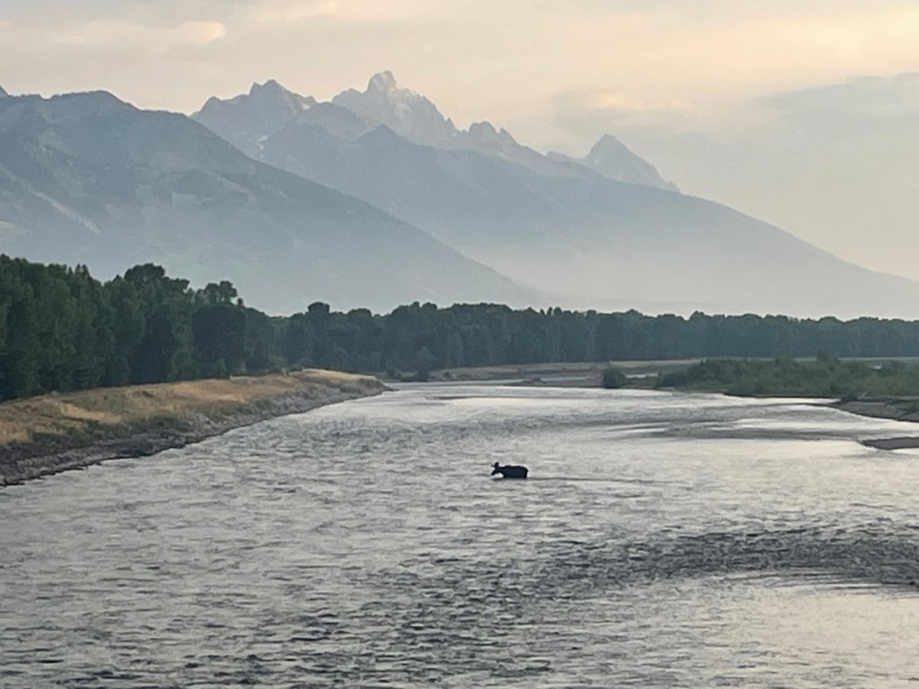
Wildfire smoke is pouring into Wyoming from some local fires, but mainly out-of-state and Canadian blazes, tinting the sun and moon with red and orange. There is a certain beauty to the filter, and in a landscape that experienced regular wildfires long ago, perhaps a natural state of summer here.
But there’s also a warning in it, especially for those who’re sensitive to the smoke, like those with asthma or COPD. Thankfully, there are ways to mitigate that danger. To check local air quality, there’s AirNow fire and smoke maps, which also provide an idea of when you may want to stay inside. There are also air purifiers — especially those with true HEPA filters — to clean smoke from the air inside homes, which are often permeable to particulates.

The crimson celestial bodies can also represent a bad omen for those living in areas where fires were eradicated for decades, building up fuel that, coupled with a warming climate, create some of the most powerful, erratic fires ever recorded.
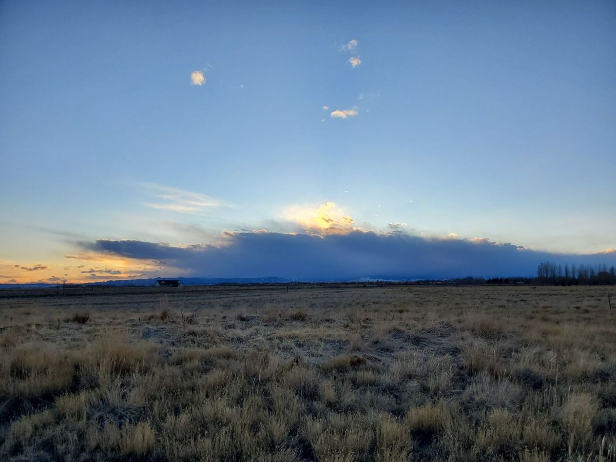
There was a red flag warning issued for much of the state Thursday, especially the northeast corner. The area’s forecasted winds and dry conditions are a perfect nursery for fledgling fires.
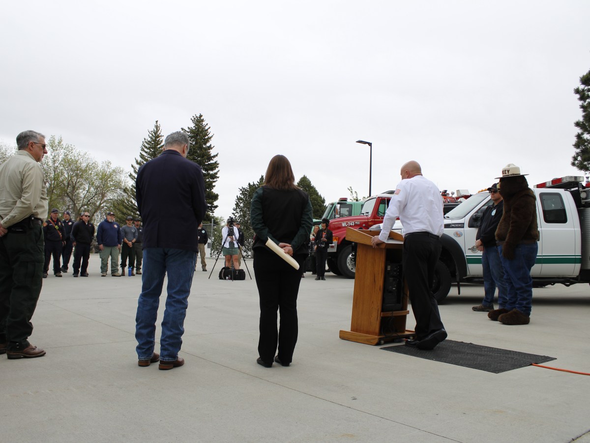
Last year’s wet weather in Wyoming also contributed to more fuel this year, State Forester Kelly Norris said while giving the fire forecast in May.
To look up current fire information, some of the best national resources include InciWeb’s interactive map, the National Interagency Fire Center and Google Maps (just search for wildfires). Local parks, public lands organizations and fire departments will likely also have updates on their websites and social media accounts.
The AirNow fire and smoke maps you linked are from a government site. But interestingly, the AirNow site is the pulling data from Purple Air, an open source citizen science project. You can easily get your own sensor and contribute to the data set.
Worth a look: https://map.purpleair.com/
Trump has plan to clean up forest floors and clean up dead trees/bushes to cut down on fire fuel load. Democrats all laughed at him. Nothing got done. Been lot of big fires since than. It only common sense you remove burnable material you reduce intensity of fires. Who laughing now?
Please fact check before you post.
From YubaNet (online news for the Sierras):
Between 2019 and 2021, Trump cut funding for the critical wildfire suppression program by nearly $600 million, even though his administration acknowledged that 63 million acres of federal forest lands and 70,000 communities were at risk of uncharacteristically severe wildfires.
Referring to a Trump executive order expanding logging in late 2018 (Washington Post):
“The declaration, issued the Friday before Christmas, reflects Trump’s interest in forest management since a spate of wildfires ravaged California last year. While many scientists and Western governors have urged federal officials to adopt a suite of policies to tackle the problem, including cuts in greenhouse gases linked to climate change, the president has focused on expanding timber sales.”